COMPETITION FOR THE REGIONAL PLAN OF AMBROZ-GRANADILLA-HURDES, EXTREMADURA


Location: Abadía, Ahigal, Aldeanueva del Camino, Baños de Montemayor, Cabezabellosa, Caminomorisco, Casar de Palomero, Casares de las Hurdes, Casas del Monte, Cerezo,Gargantilla, Guijo de Granadilla, Hervás, Jarilla, Ladrillar, La Garganta, La Granja, La Pesga, Marchagaz, Mohedas de Granadilla, Nuñomoral, Oliva de Plasencia, Palomero, Pinofranqueado, Santa Cruz de Paniagua, Santibáñez el Bajo, Segura de Toro, Villar de Plasencia and Zarza de Granadilla. Extremadura.
Client: Junta de Extremadura.date: November 2022.
Type: Public tender.
Programme: Territorial Plan.
Surface area: 1,442.26 km2.
Team: Alexandra Delgado and Marina Ambrosio.
Collaborators: Daniel Ferrer, María Gilda, Susana Galera, Blanca Martín, Miriam Gárate.
Phase: Competition.
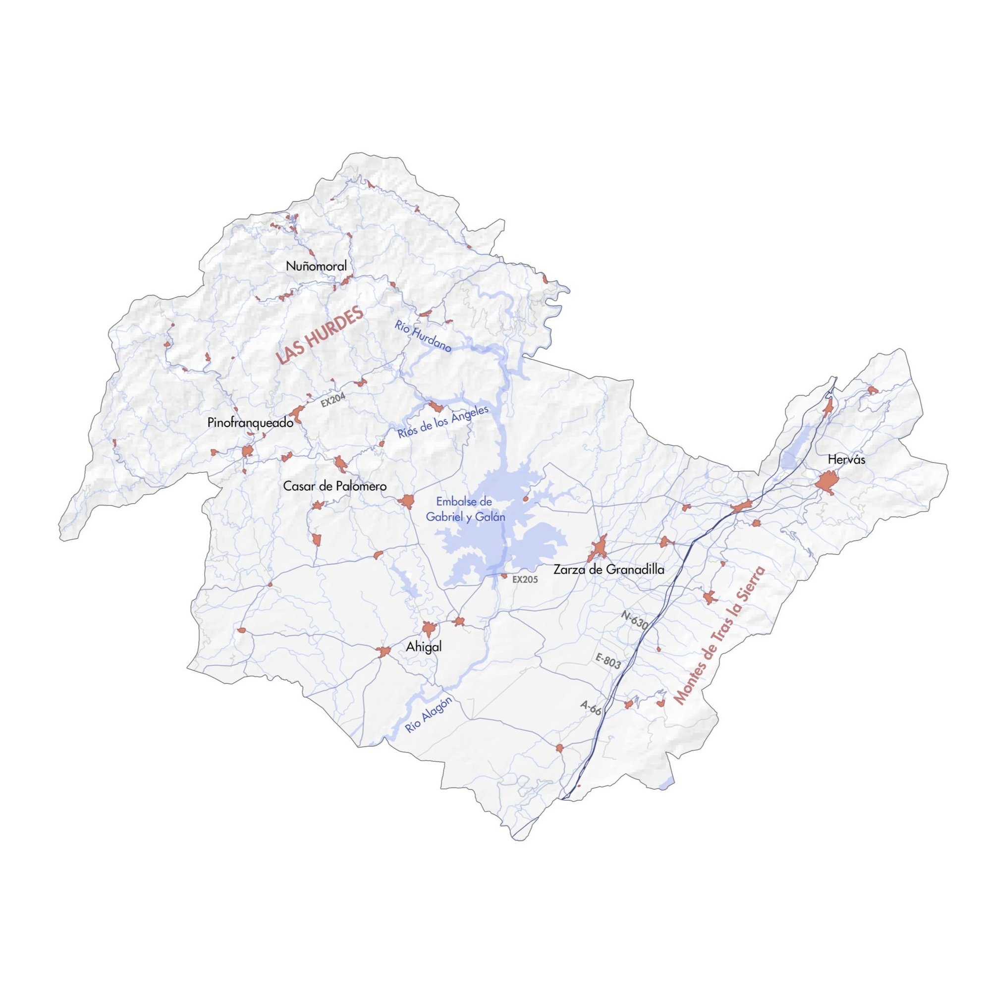
The hydrographic network is part of the Tagus basin, the main watercourses being the rivers Ambroz, Alagón, Hurdano and Río de los Ángeles. This network is characterised by its narrowing in the mountainous areas, which gives rise to the presence of excellent bathing areas. The area is also home to several reservoirs, with the Gabriel y Galán reservoir standing out.
The final aim of this Territorial Plan is to adapt the urban planning to the current LOTUS regulations.
To this end, the following aspects of the area have been studied in detail:
Analysis of the territorial structure.
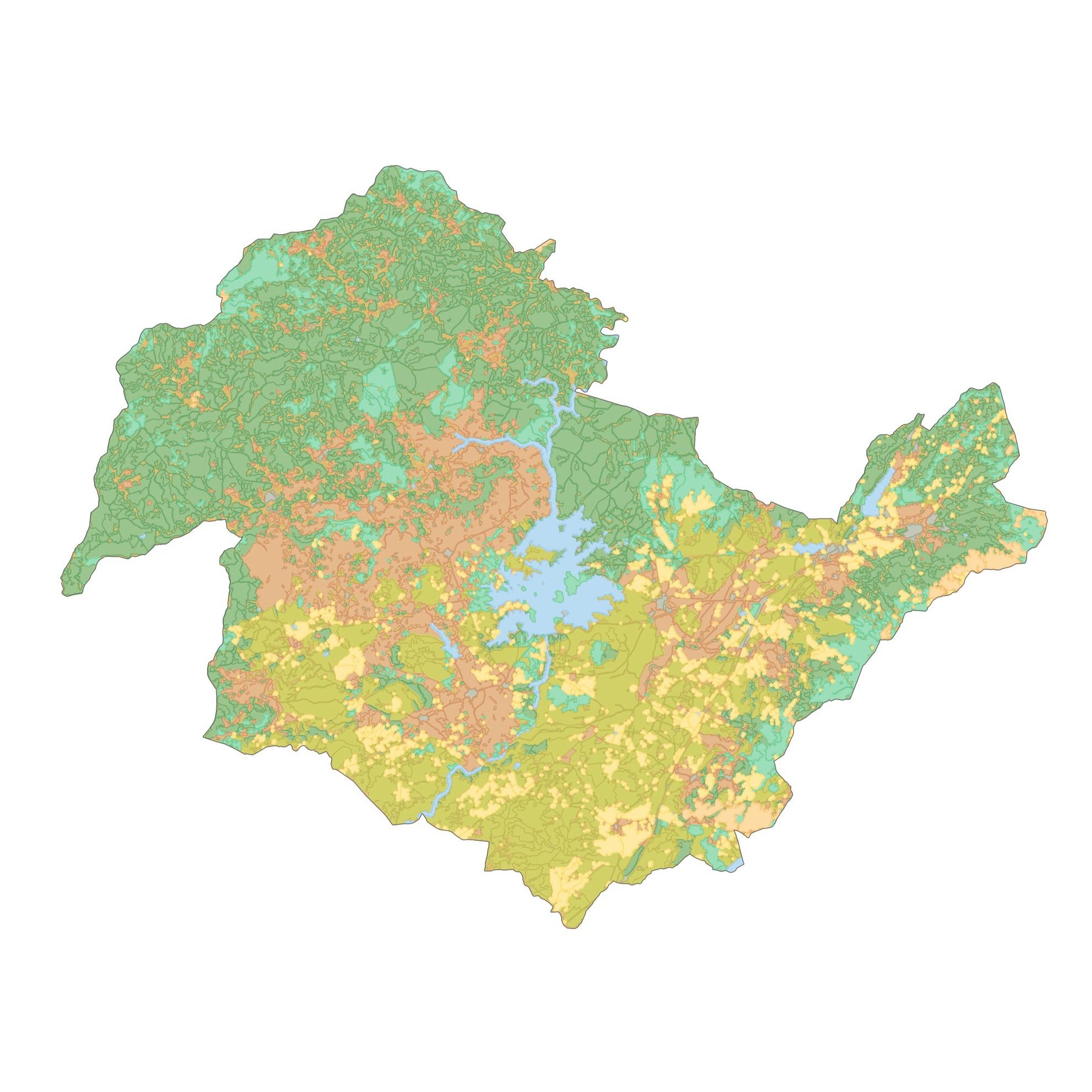
The current land cover.
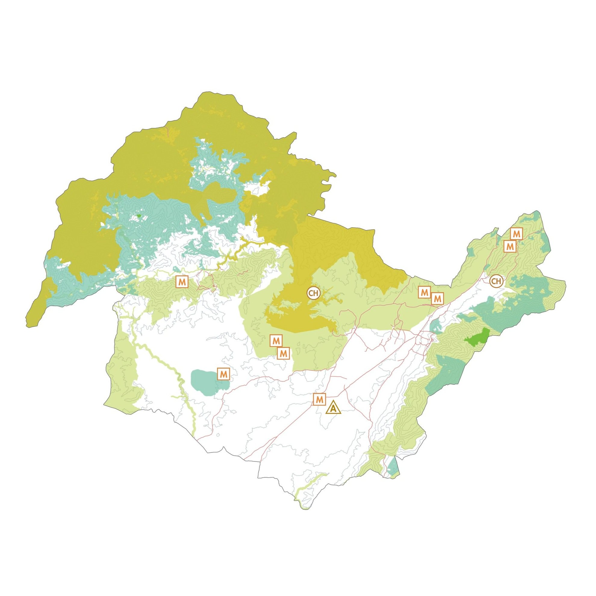
Its environmental and heritage values.
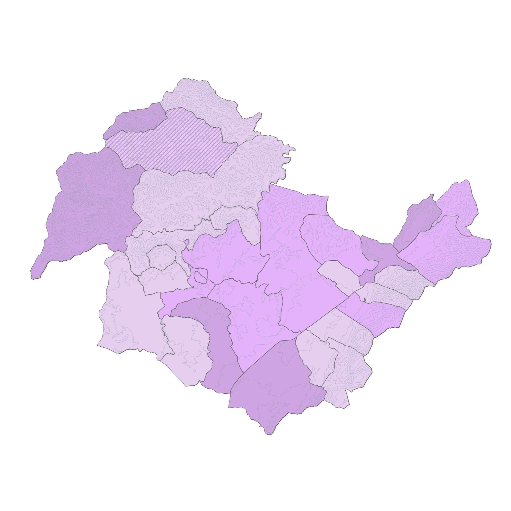
The state of the current planning.
New developments are proposed for new needs, heritage protection and the incorporation of sustainability criteria and with a gender perspective, as well as the development of strategic actions. All of this establishing a simplified regulatory framework.